How the Landscape Shaped the War in the Millstone Valley
The Millstone River Valley, a natural north-south corridor across New Jersey’s
Piedmont Plain, became an important route of travel after the Van Veghten Bridge was built
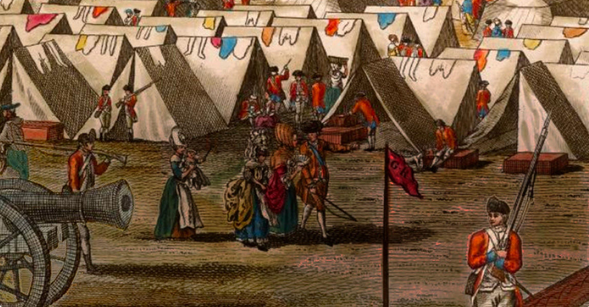
across the Raritan River in 1763. This corridor was used repeatedly by armies of the
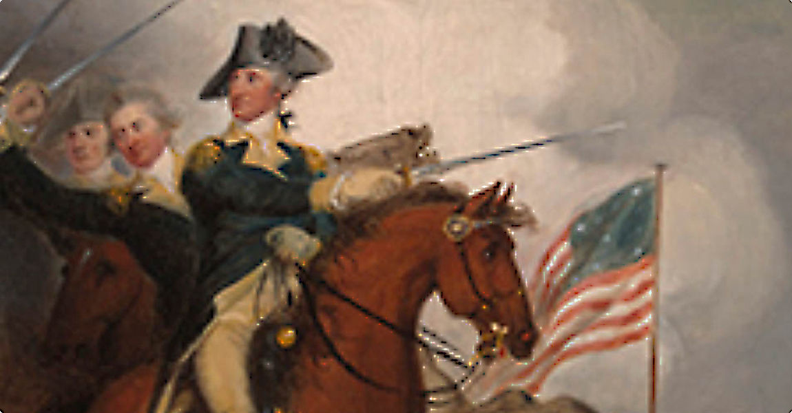
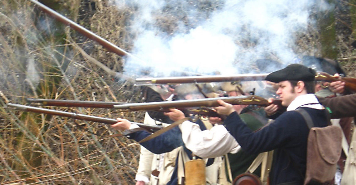
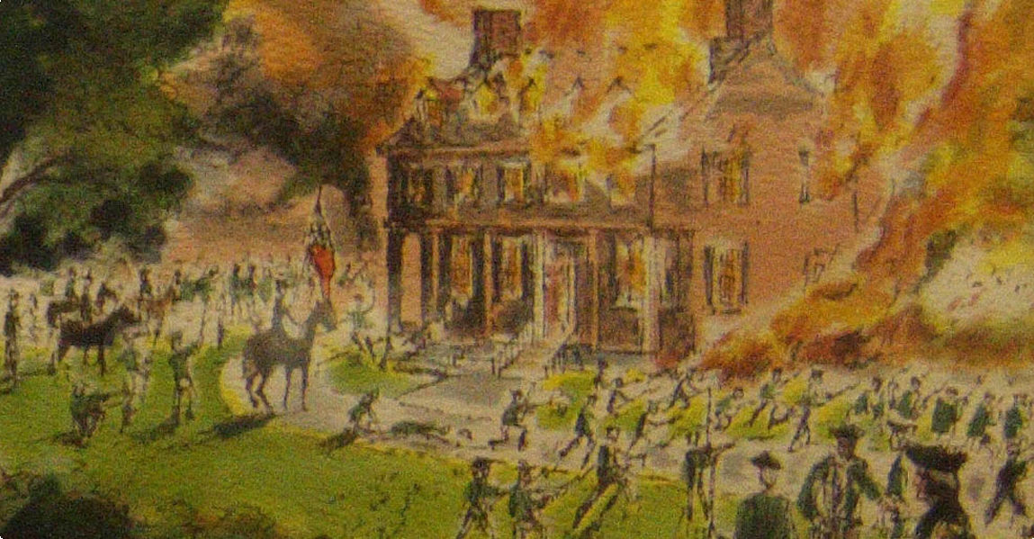
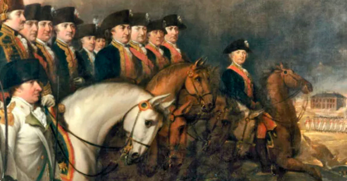
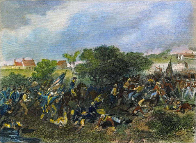
American Revolution. First to come this way was a detachment of the British Army sent out in 1776 from New Brunswick to reconnoiter up the Raritan River. They rejoined the main British forces at Princeton via the Millstone valley. Washington, withdrawing after his victories at Trenton and Princeton in January 1777, turned north at Kingston and led his weary, ragged army up the alley toward the safety of the Watchung Mountains, destroying bridges as he went to hinder pursuit.
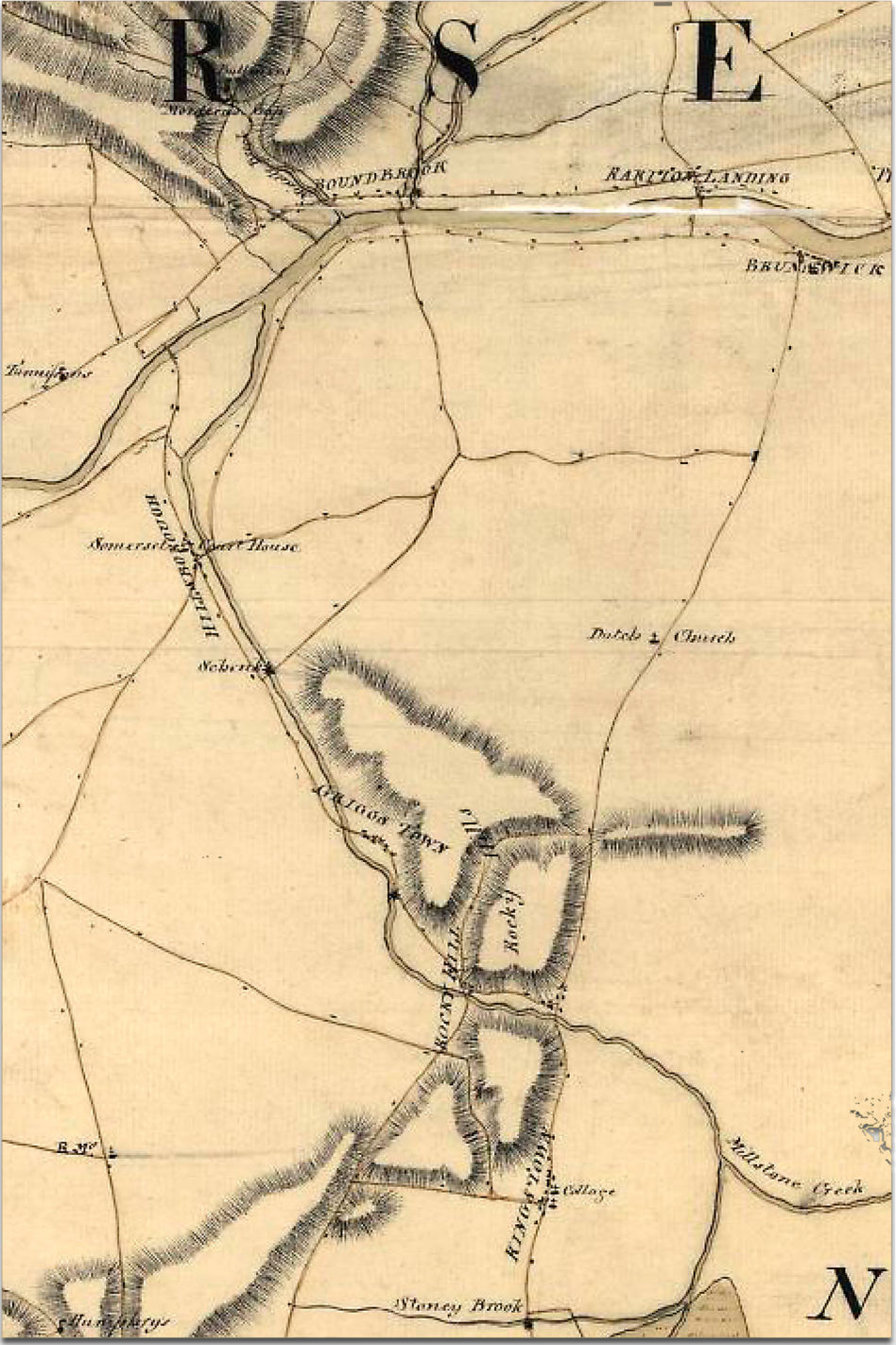
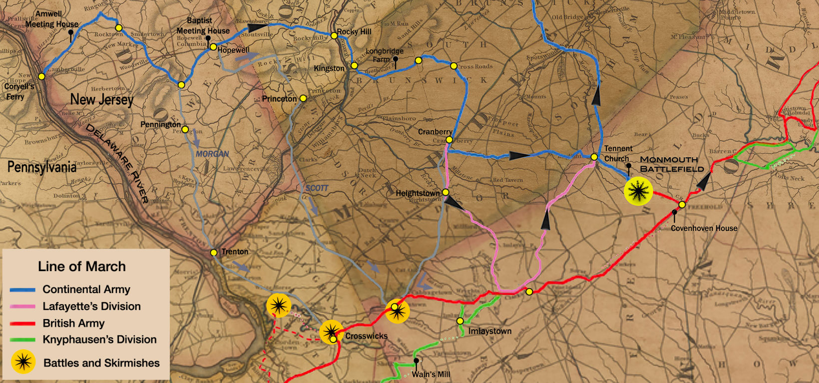
The map at left is part of the map A Sketch of the Northern Parts of New Jersey, copied from the Original by Lient I Hills, 23rd Reg, 1781. The map can be retrieved from the collection at the Library of Congress (LOC). It shows the roads that existed in the Millstone River Valley during the Revolutionary War and the rivers and the hills that provided protection to the Continental Army and militia. The British forces were based to the east of the Millstone River, in New Brunswick and further north. The Raritan River and the Millstone River limited access to the farmland and mountains to the west, and allowed the Continental Army and the militia some secrecy in their movements.